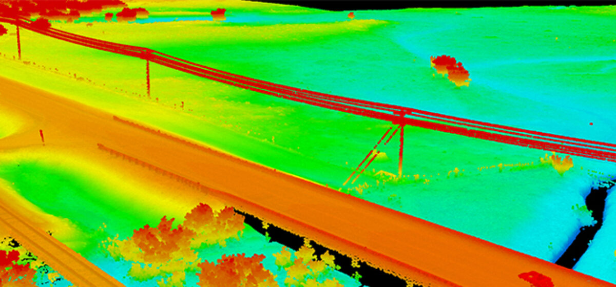
Keeping transportation projects on time and on budget can be a challenge for numerous reasons. But inaccurate mapping shouldn’t be one of them. NV5 Geospatial’s Mark Meade describes the science and testing outcomes of various remote sensing sensors and platforms in partnership with the Oklahoma DOT. Read the full article at Roads and Bridges.