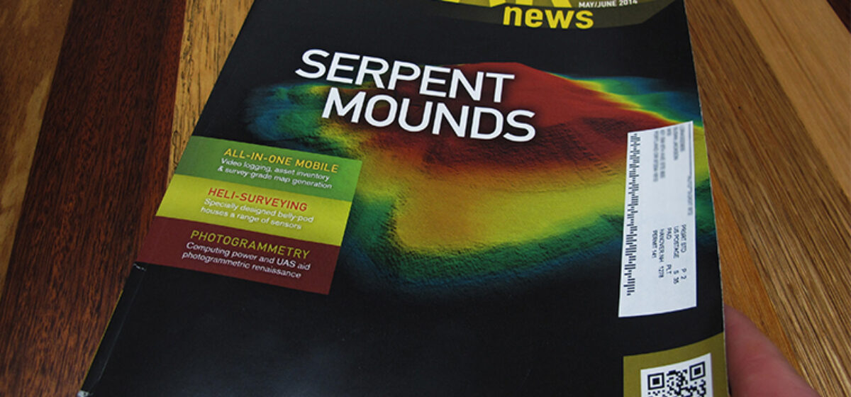
As seen on the Discovery Channel and featured in LiDAR News, Quantum Spatial assisted an archeological and anthropological investigation of ancient mounds by employing our aerial, terrestrial, and mobile LiDAR mapping techniques to create 3D models of the earthen formations located in several areas across the eastern United States.
The LiDAR models revealed detailed information about site topography in an effort to discern the history surrounding the formation of the mounds as well as their importance in the life of early civilizations.
Read the entire story at LiDAR News.
The first video (above) is an excerpt from the Discovery Channel’s “America Unearthed” series as Quantum Spatial’s vice president of technology, Jamie Young, demonstrates the capabilities of LiDAR for the program’s host, Scott Wolter. The 2nd video (below) is additional LiDAR modeling of the Cahokia Mounds: