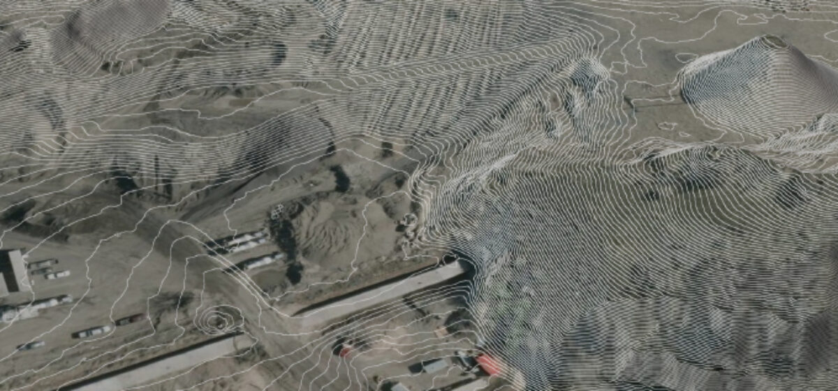
Quantum Spatial collected and analyzed LiDAR data for Utah’s Automated Geographic Reference Center. Government officials and researchers are using the LiDAR datasets in applications ranging from urban planning, forestry and geology. The LiDAR data is public available on the organization’s WEBSITE.
The story, by John Hollenhorst of KSL News Utah explains how the unique properties of LiDAR data reveal subtle ground features including landslides and faults even when covered by vegetation. Play the video to see the segment as it aired on the local news or click here for the TEXT ARTICLE.