Fusing Data on Doomed Ash Trees
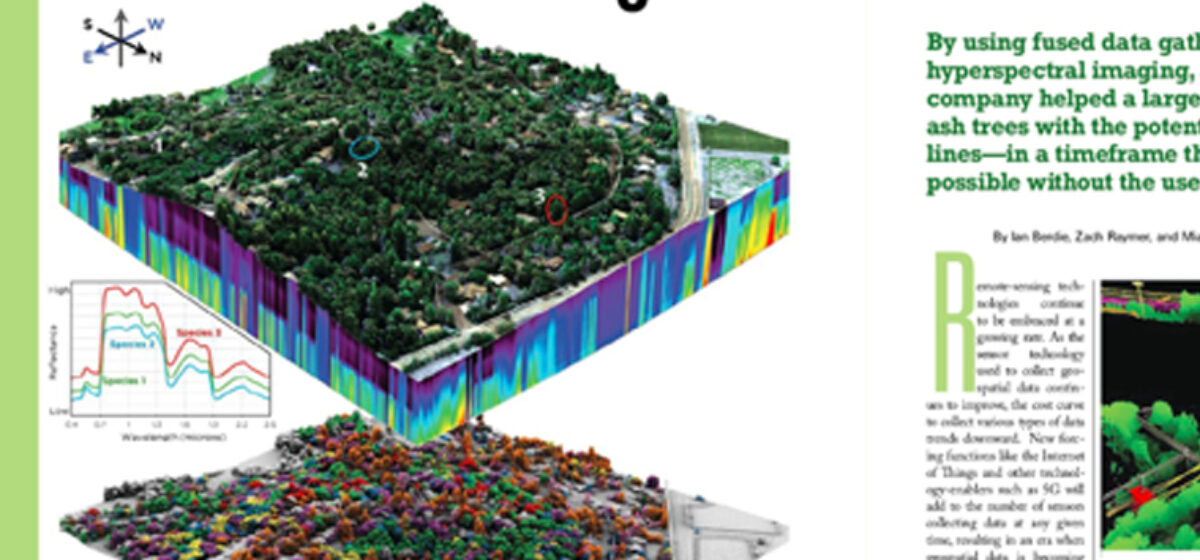
The emerald ash borer is decimating the ash trees across the nation, leading to large quantities of unhealthy and dead trees. In the presence of electric utility lines, compromised ash trees are a greater risk to the integrity of utility system. In the latest issue of xyHt, Quantum Spatial’s Ian Berdie, Zach Raymer, and Mia Chen … Continue reading Fusing Data on Doomed Ash Trees